
Geography & cities
Two rivers flowing in opposite directions and mountains dividing coast from interior — a geography that bred rival cities.
Geography shaped Syria's character before history did. In the east, the Euphrates flows from Turkey southeast toward Iraq, the lifeline of the eastern plains; between it and the Tigris stretches the Jazira — the wheat, cotton, and oil plains of the northeast. In the west, the Orontes (al-Assi, 'the rebel') flows unusually northward, passing Homs and Hama with their famous waterwheels before reaching the Mediterranean near Antakya.
The snow-capped Anti-Lebanon range separates the country from its western neighbour, while the Coastal Mountains (Jabal Ansariya) block the sea's moisture from the interior — creating in their shadow the Ghouta oasis on which Damascus rose, among the oldest continuously inhabited cities in the world.
Throughout history, Syria's cities have competed:
- Aleppo (Halpa in the Ebla texts): the northern commercial capital tied to Anatolia, long the country's largest city
- Damascus: the capital of politics and culture, heart of the Umayyad Caliphate and later of the republic
- Homs: the crossroads at the centre, linking coast to interior and north to south
- Hama: the city of the Orontes and its giant norias
Thus the alternation of two rivers, mountain, and plain produced a country of multiple competing centres — a diversity that still defines Syria's economy and politics today.
Related eras
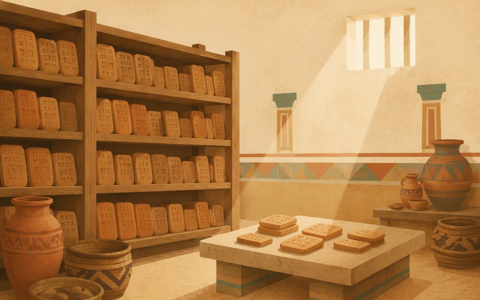 VERIFIEDThe Kingdom of Ebla3000 BCE – 2250 BCE
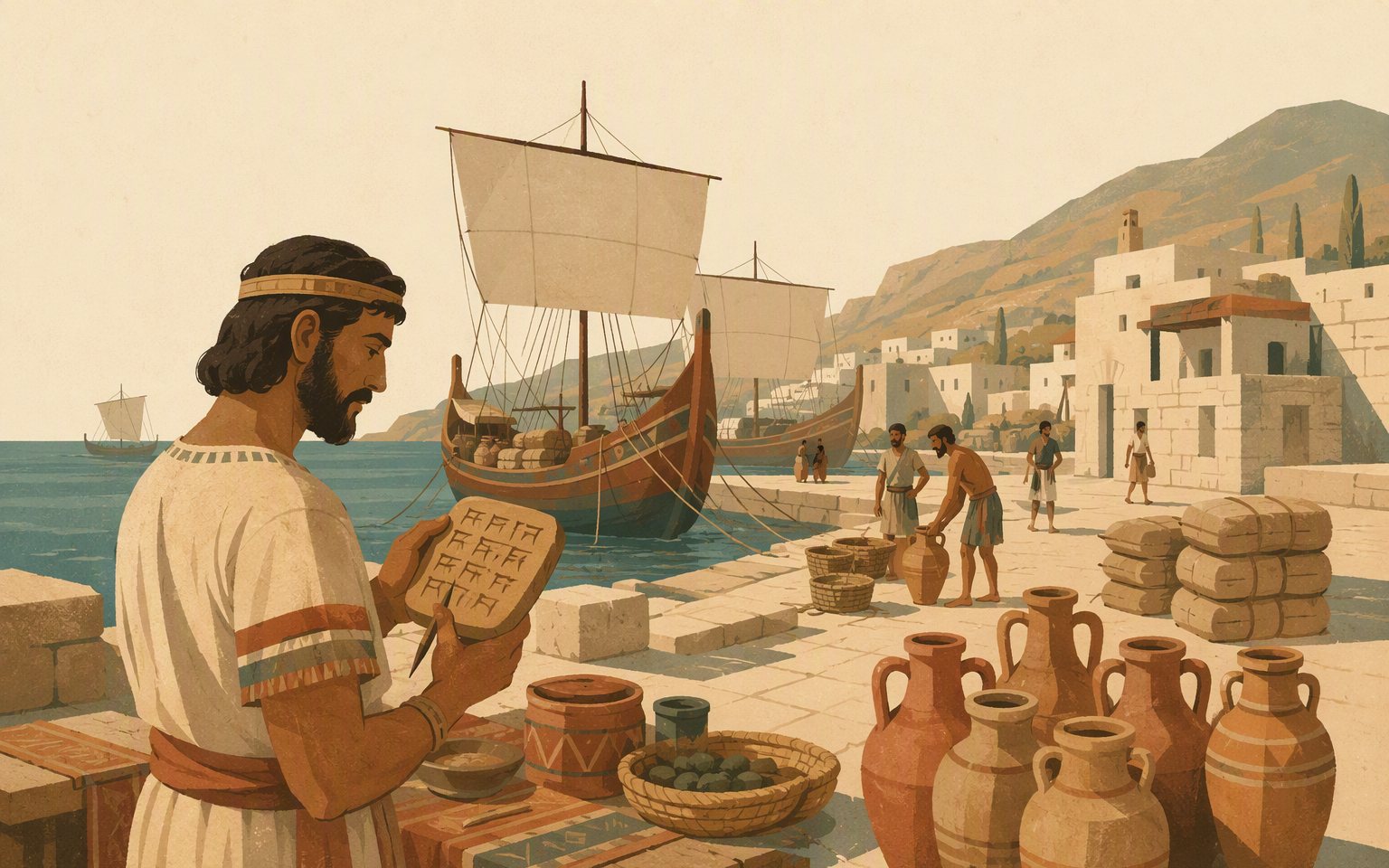 VERIFIEDUgarit — the birth of the alphabet2000 BCE – 1185 BCE
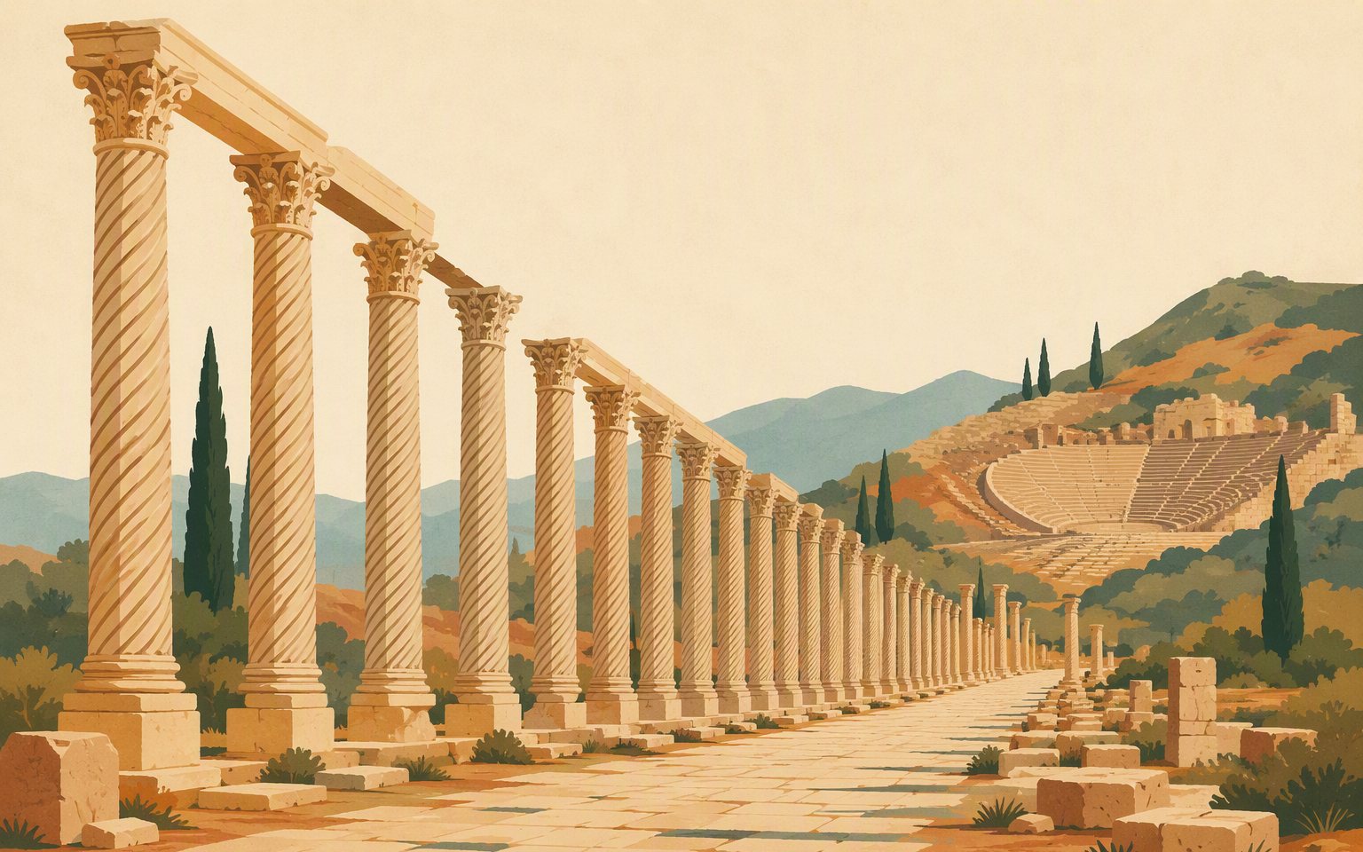 VERIFIEDHellenistic era — Seleucids and Antioch332 BCE – 64 BCE
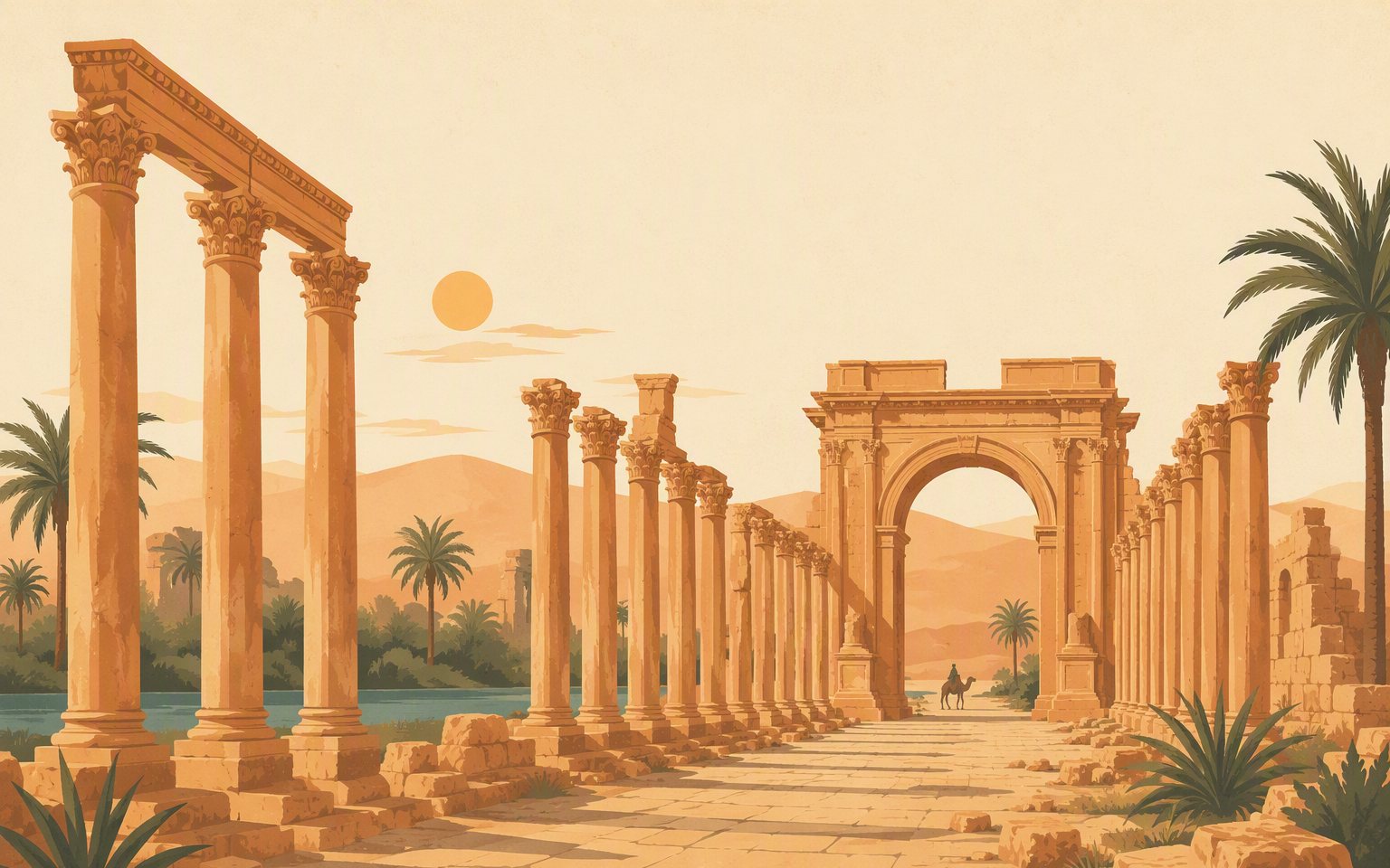 VERIFIEDRoman Syria — Palmyra and Zenobia64 BCE – 395 CE
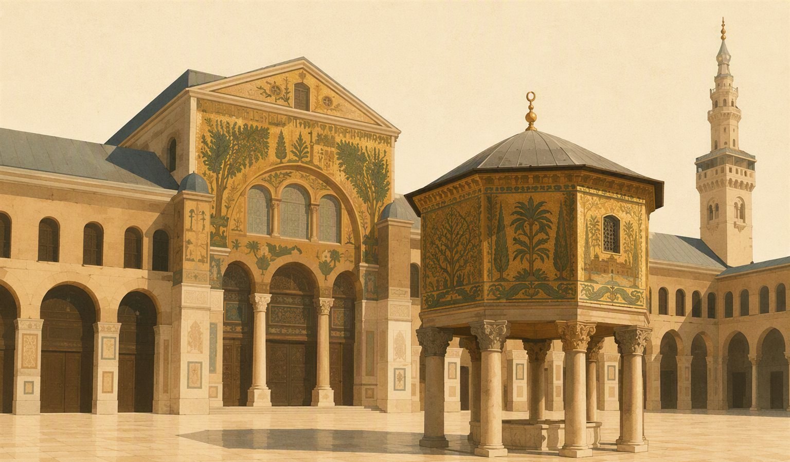 VERIFIEDUmayyad era — Damascus as capital of the world661 CE – 750 CE
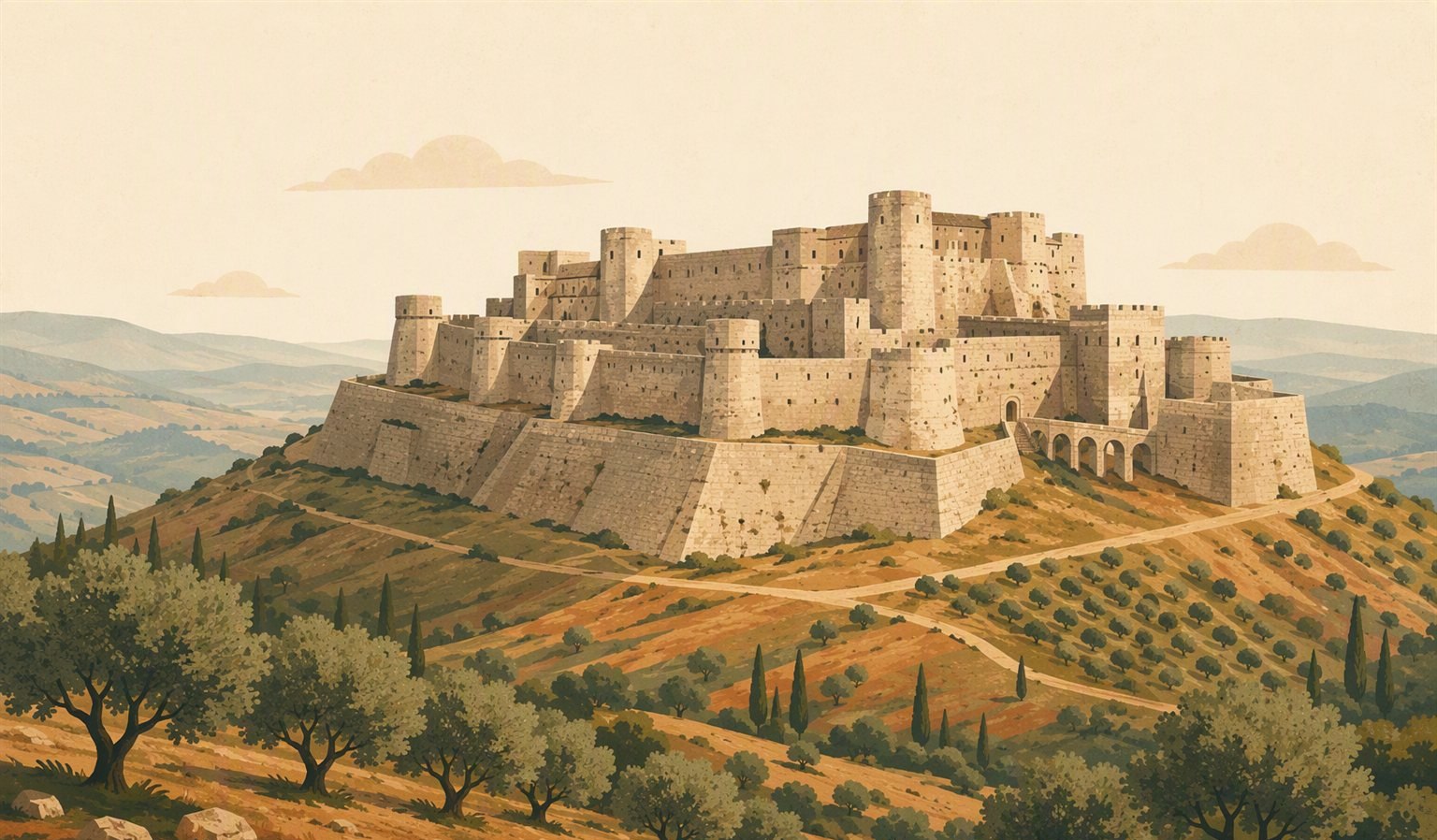 VERIFIEDThe Crusades — Antioch and Tripoli1098 CE – 1291 CE
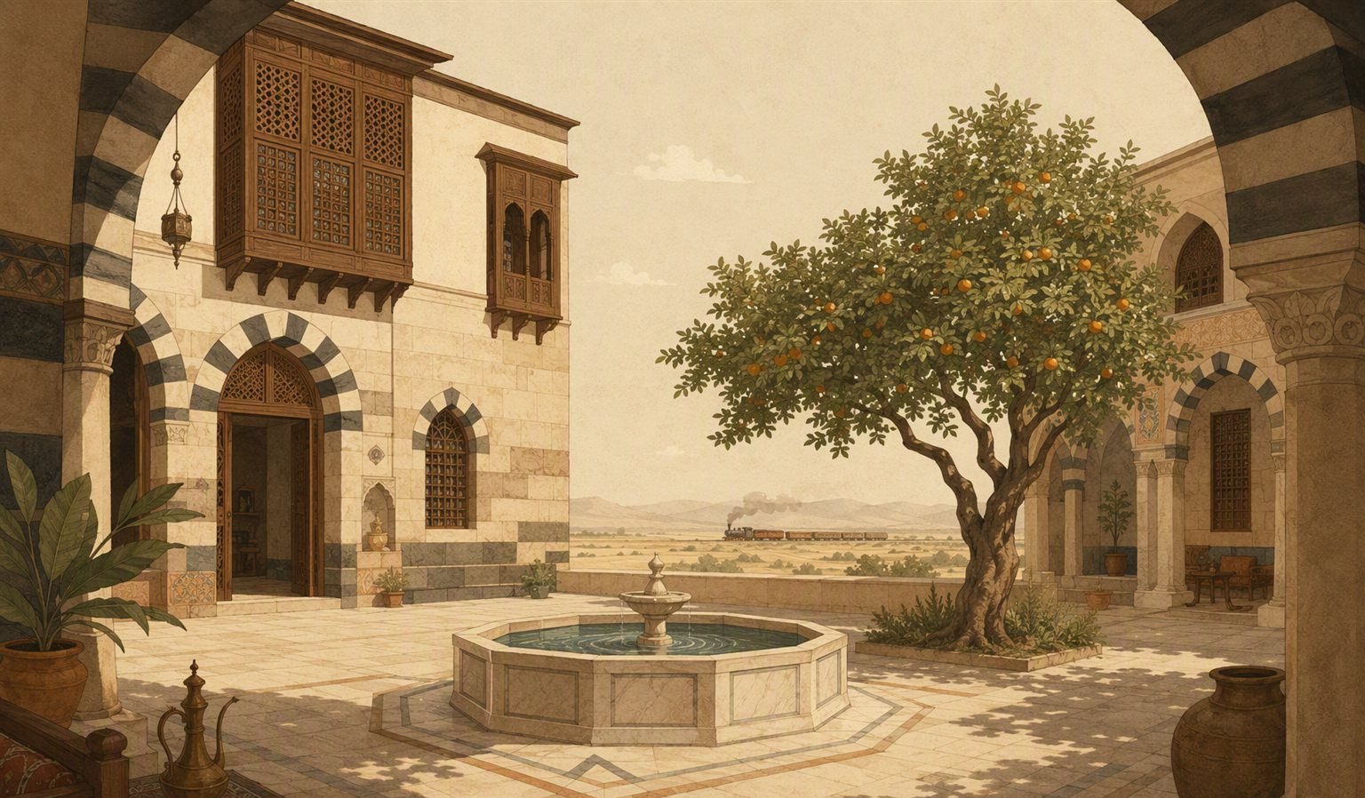 VERIFIEDOttoman Syria1516 CE – 1918 CE
Sources
- Britannica — Syriaverified
- Wikipedia — Geography of Syriacontext
- Wikipedia — Orontes Rivercontext